REMOTE SURVEY OFFICE SUPPORT

Survey data in.
Drawings out.

Drone, GNSS, total station or laser scan data, turned into drawings, surfaces and quantities. In your local grid, on your CAD standard.

Survey technician · 12 years on road and infrastructure projects

516.92517.10517.58512.98512.50512.91517.65519.76ZoneMapSHEET 0421:500 DWG
OrthophotoDrawing
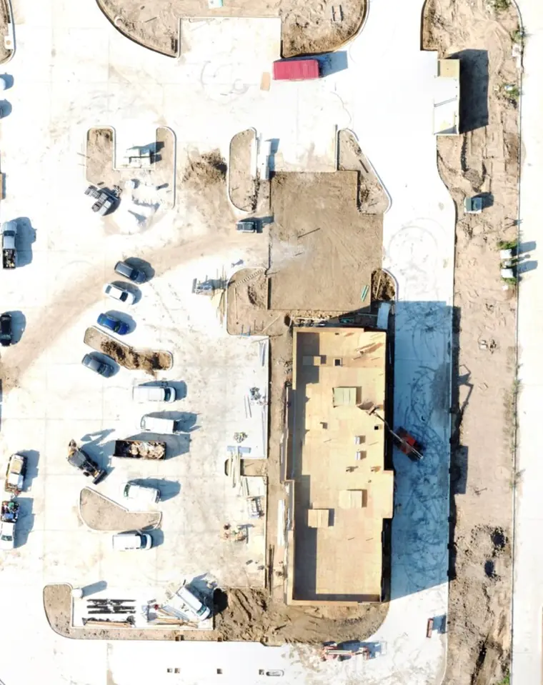
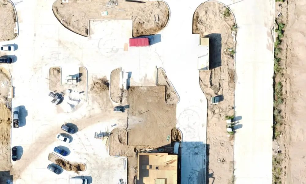
Demonstration drawing over an open-licence drone orthophoto.
DWG · DXF · LandXML · LAS / LAZ · GeoTIFF · CSV · PDF · Civil 3D · AutoCAD · GNSS · TOTAL STATION · DRONE · LASER SCAN ·
SERVICES

What I deliver

Measurements come in faster than drawings and quantities go out. That backlog decides how many jobs you can accept. I take the office work off your desk, so you can say yes to more.

  • Photogrammetry processing

    From your images and GCPs: orthophoto, DSM, DTM and point cloud.

  • Topographic drawing

    From GNSS, total station, orthophoto or point cloud. Features, levels and boundaries in DWG.

  • Surfaces and contours

    Ground surface with breaklines, vegetation and structures removed. Contours at your interval.

  • Volumes and earthworks

    Stockpile inventories and cut/fill quantities against design or a previous survey.

  • Road and linear works

    Long sections, cross sections and quantities along an alignment.

  • As-built drawings

    What was built, measured and drawn against the design, ready for handover.

  • Setting-out data

    Point files and stake-out lists from your design, ready for the field crew.

  • White-label delivery

    Your logo and title block on every file. I never contact your client.

PROCESS

How a project runs

  1. 1

    Send the data

    Raw or processed: images, GNSS or total station files, point clouds, field sketches. By WeTransfer, Drive or Dropbox.

  2. 2

    Confirm scope

    I check the data and confirm deliverables and delivery date within 24 hours.

  3. 3

    Process and draft

    Processing, surfaces, drawings and quantities, typically in 2–3 working days.

  4. 4

    Check and deliver

    Files arrive with a QA report. One round of changes is included.

24 h
to confirm deliverables and delivery date
2–3
working days, typically, to process and draft
1
round of changes included
WHO I WORK WITH

Any team with more data than drafting time

Who I work withYOU SENDI DELIVER
Drone survey companiesImages, orthophoto, point cloudTopo drawing, DTM, volumes
Land survey officesGNSS or total station raw dataTopo drawing, sections
ContractorsSite measurements, design filesEarthwork quantities, as-built, setting-out data
Engineering consultanciesSurvey data for a designSurfaces, long and cross sections, quantities
Quarries and minesPeriodic site surveysMonthly stockpile volume reports
DELIVERABLES

Files you receive

OUTPUTFORMAT
Topographic drawingDWG / DXF
Ground surface (DTM)LandXML, Civil 3D surface
Contours and breaklinesDWG
Volume and quantity reportPDF + CSV
Long and cross sectionsDWG + PDF
Setting-out pointsCSV / TXT
OrthophotoGeoTIFF
Point cloudLAS / LAZ

In your local grid

  • OSGB36 / British National Grid
  • Irish Transverse Mercator
  • RD New (Netherlands)
  • ETRS89 / UTM
  • Stereo 70 (Romania)
  • ITRF96 / TUREF (Türkiye)
  • US State Plane

Drawn on your layer names and CAD template.

12

years in field survey on road and infrastructure projects
Mucahit · Survey technician

ABOUT

Why work with me

Major contractors

Ballast Nedam, Polimeks and Yapı Merkezi, on international road and infrastructure projects.

Civil 3D every day

Surfaces, alignments and road design, with my own automation tools for repeat tasks.

I know the field side

I check your data the way a surveyor who set out the points would.

QUALITY

Checked before it leaves my desk

Control checks

GCP, checkpoint or traverse residuals listed in the report, so you see the accuracy.

Surface against spot heights

The ground surface is compared with your surveyed levels before drawing.

Quantity method stated

Base surface and method written in every report, so the figures can be audited.

Clean CAD

Your layers, real 3D levels, closed polylines. Ready to use without cleanup.

QUESTIONS

Common questions

What survey data can I send?

Raw or processed data: images, GNSS or total station files, point clouds and field sketches. Share them by WeTransfer, Drive or Dropbox.

How long does a project take?

I check the data and confirm deliverables and delivery date within 24 hours. Processing, drawings and quantities typically take 2–3 working days.

Which coordinate systems do you work in?

Your local grid, including OSGB36, Irish Transverse Mercator, RD New, ETRS89 / UTM, Stereo 70, ITRF96 / TUREF and US State Plane. Drawings use your layer names and CAD template.

Which file formats do I receive?

DWG and DXF drawings, LandXML or Civil 3D surfaces, PDF and CSV reports, GeoTIFF orthophotos and LAS or LAZ point clouds.

How do I get a price?

Send the site, the data you have and what you need. I check it and reply with the scope, the price and the delivery date.

Can you deliver under my company's name?

Yes. Every file carries your logo and title block, and I never contact your client.

REQUEST A QUOTE

Tell me the job, get a price.

Send the site, your data and what you need. I check it and reply with the scope, the price and the delivery date.

Get a quote
  • Site location and area
  • The data you have: drone, GNSS, total station or scan
  • The outputs you need
  • Coordinate system and CAD template
  • Your deadline

Send me your next dataset.

Write a short note with the site, the data you have and what you need. I reply within one working day.